GEOSPATIAL MISSION MANAGER
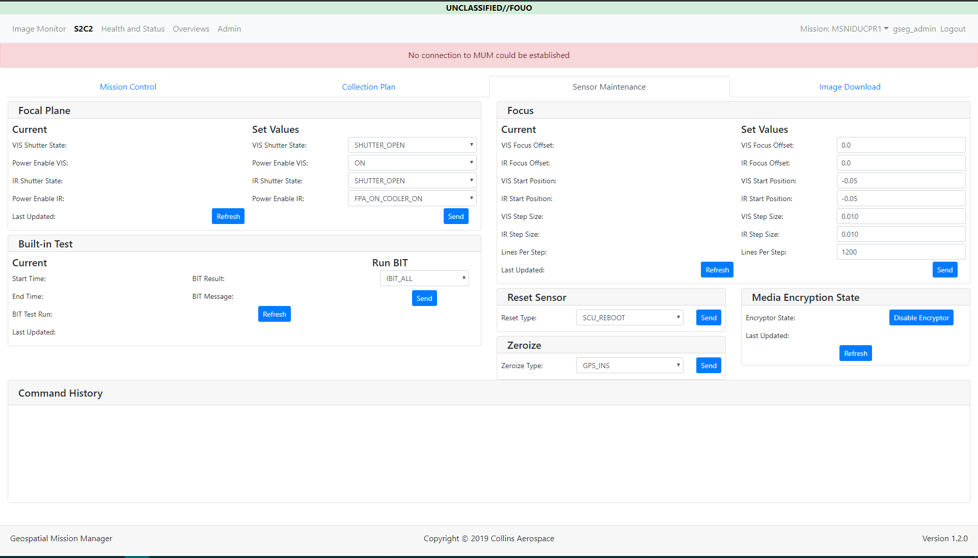
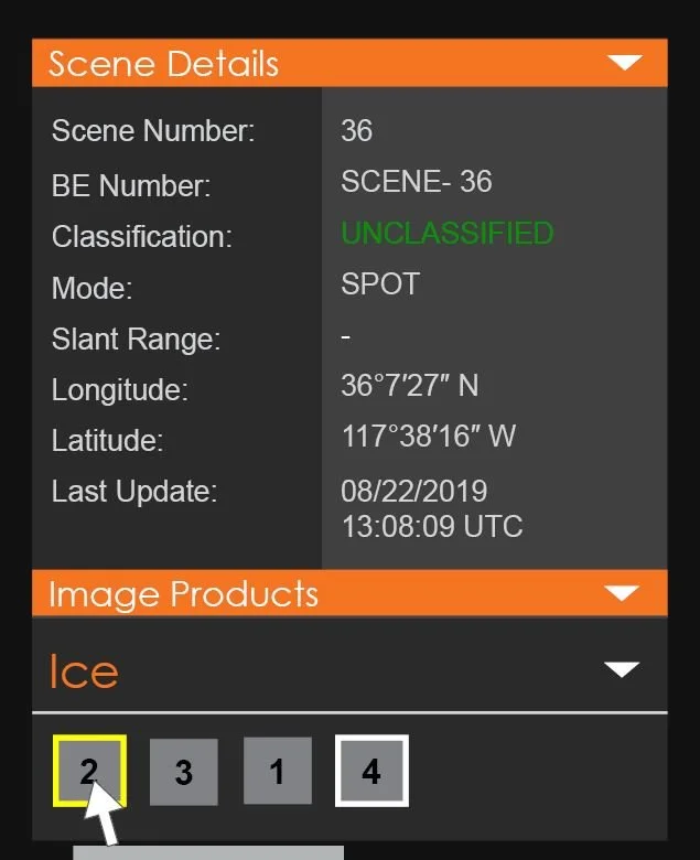
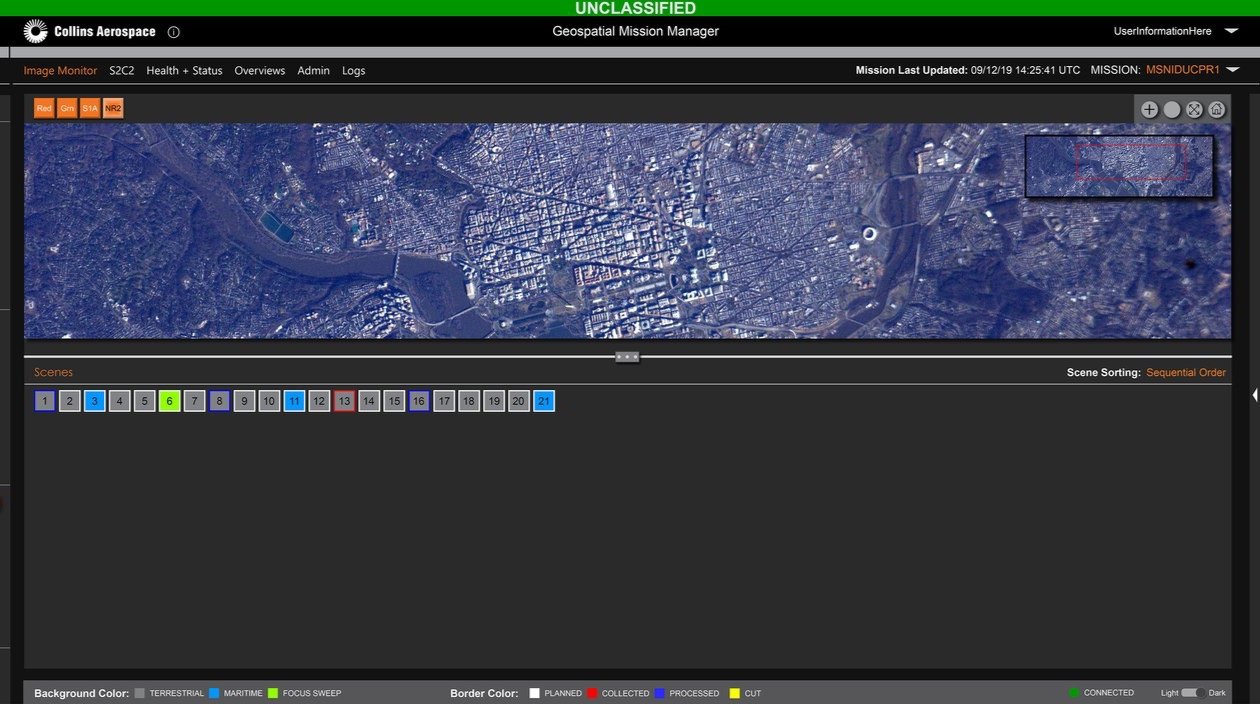
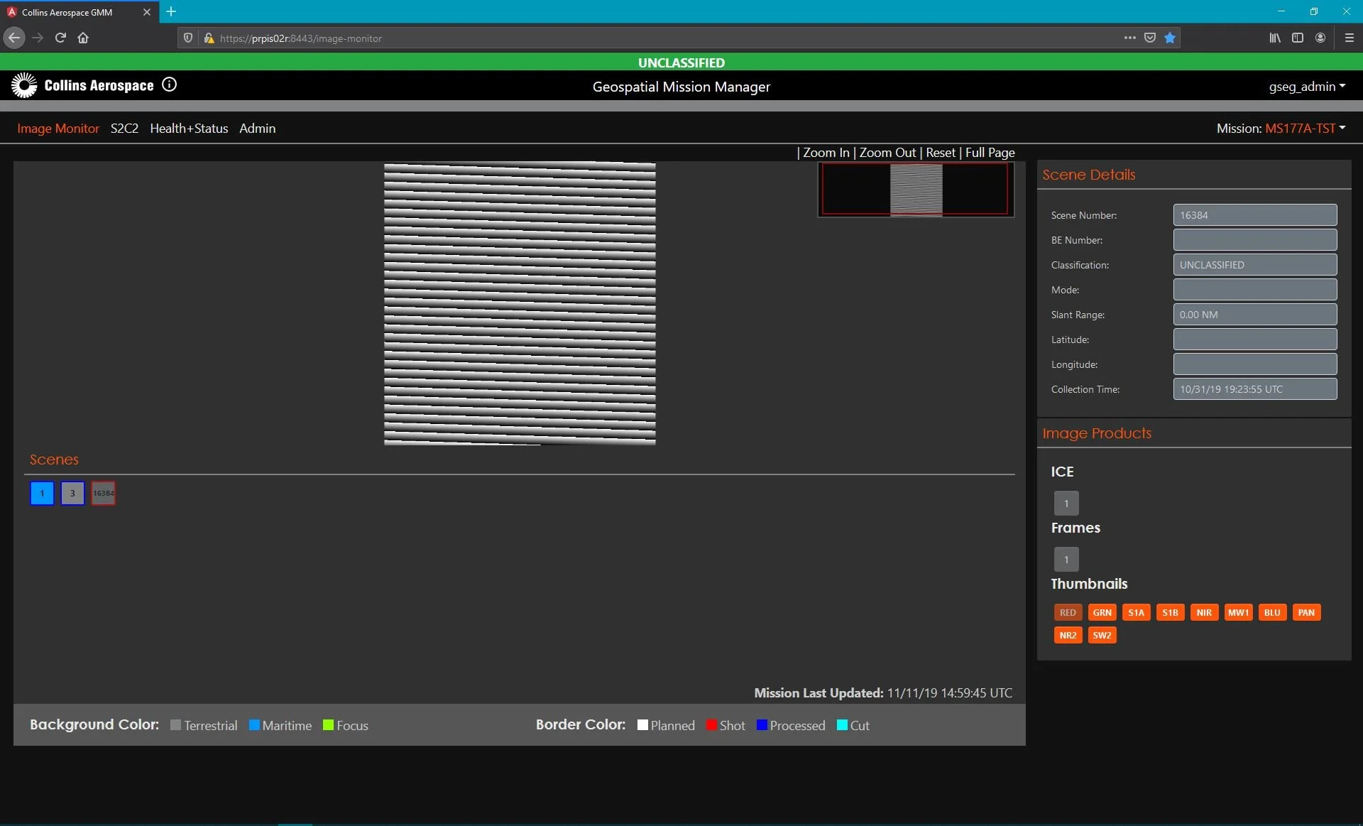
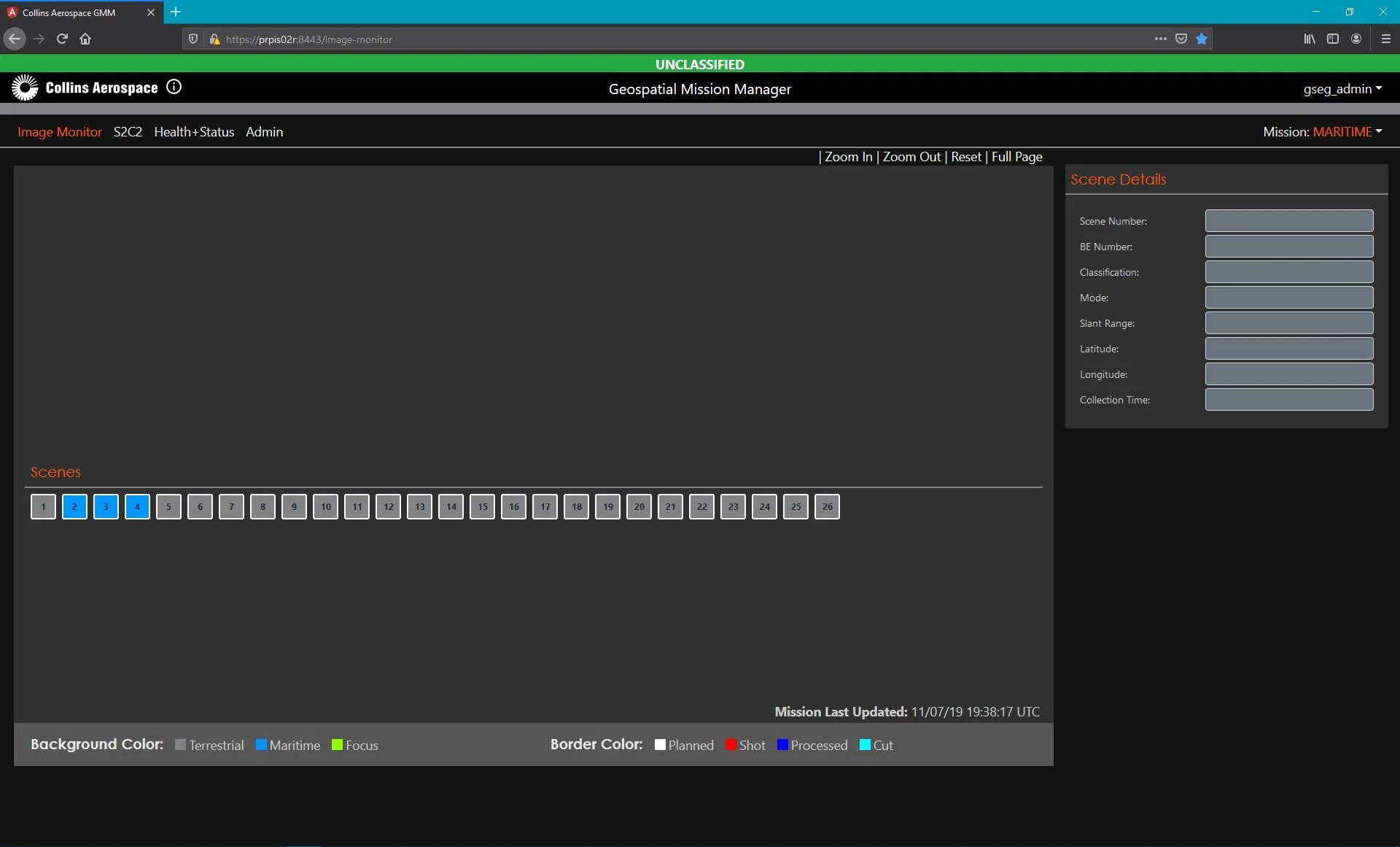
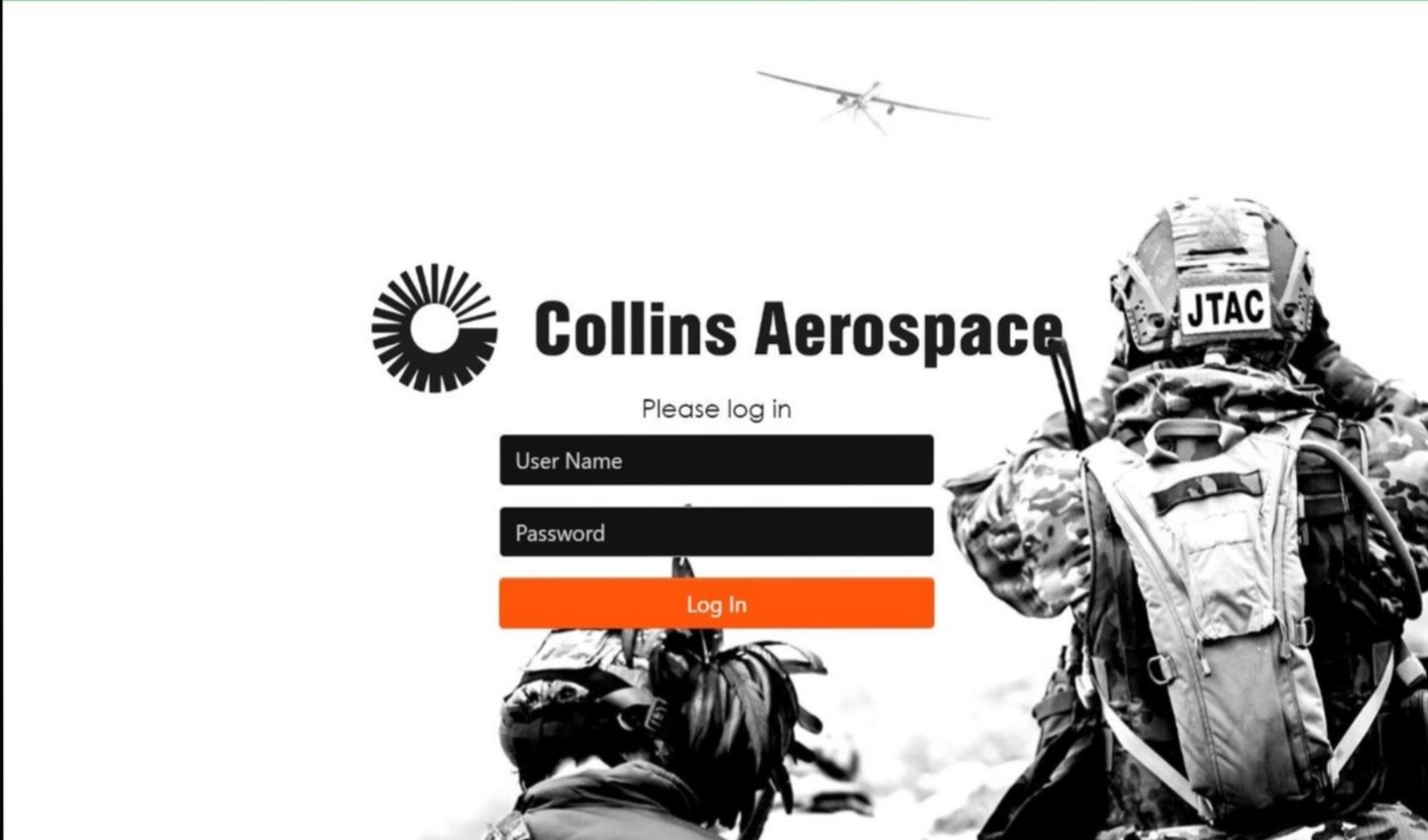
GMM (Geospatial Mission Manager) is a real-time geospatial intelligence platform supporting image capture, mission planning, and live-mission monitoring. Operators use the system to pan and zoom imagery, flag and annotate targets, reprioritize collection, and acknowledge alerts — all in real time, as conditions on the ground change.
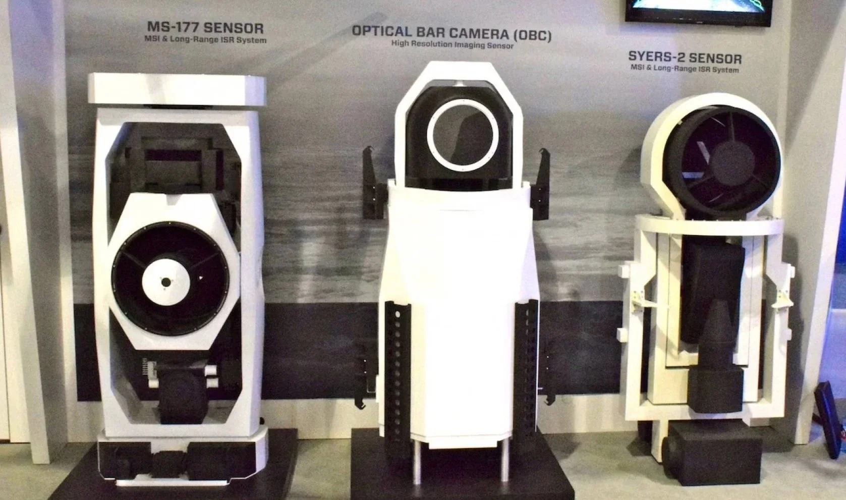
Intelligence, Surveillance and Reconnaissance (ISR) Imaging Systems. Provides improved spectral and spatial image resolution at longer ranges and greater area coverage than other airborne ISR sensors.
The MS-177 sensor evolved from the proven Senior Year Electro-optical Reconnaissance System (SYERS)-2C flown on manned aircraft. SYERS has serviced combatant commanders' intelligence needs for more than 20 years and has regularly been enhanced to keep pace with evolving war fighter threats. The MS-177 now provides increased mission capabilities to the RQ-4B Global Hawk Block 30 UAS to meet current and evolving mission needs and threats.
Mission management software for ground segments plays a crucial role in handling data from image-gathering sensors.
Data Collection: The software interfaces with SYERS and other image-gathering sensors to collect raw data, including high-resolution images and spectral data.
Data Processing: The collected data undergoes processing to enhance image quality, identify targets, and extract relevant information. This includes tasks such as image stitching, geolocation, and spectral analysis.
Data Integration: Processed data is integrated with other intelligence sources to provide comprehensive situational awareness. This involves correlating sensor data with existing databases and real-time information from other ISR assets.
Tasking and Coordination: The software assists in tasking and coordinating sensor assets to ensure optimal coverage and timely collection of required data. This includes scheduling sensor operations and dynamically adjusting missions based on real-time needs.
Dissemination: Processed and analyzed information is disseminated to relevant decision-makers and operational units, ensuring commanders have access to actionable intelligence in a timely manner.
Within the GMM interface, operators manage S2 (Surveillance and Reconnaissance), C2 (Command and Control), and C3 (Command, Control, and Communications) information.
S2 (Surveillance and Reconnaissance): Gathering and analyzing imagery and other intelligence.
C2 (Command and Control): Managing operational control and coordination of missions.
C3 (Command, Control, and Communications): Integrating communication networks to maintain situational awareness and coordination among units.
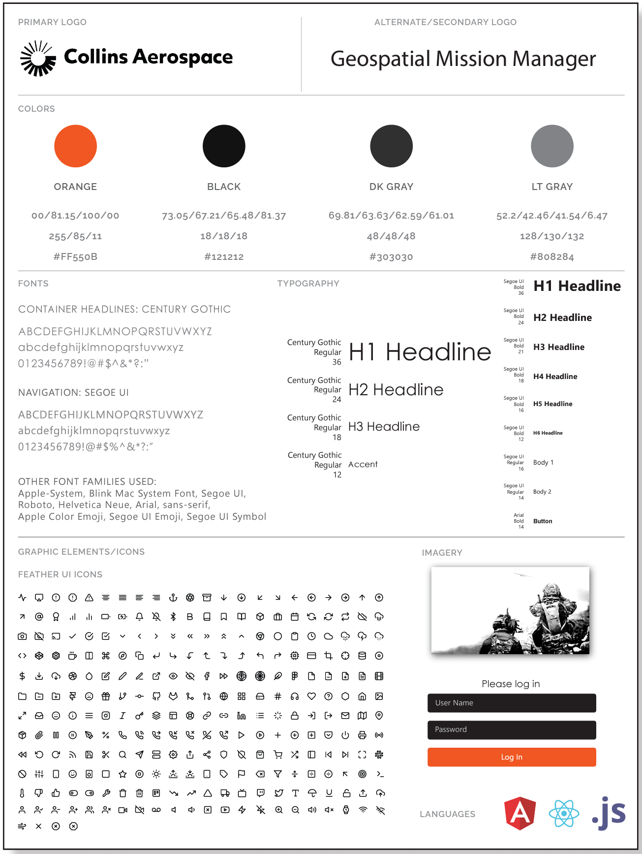
Established brand and interface standards for the GMM platform — primary and secondary logo lockups, a defined color palette, typography hierarchy (headline and body type pairings), and a documented icon library, giving engineering teams a consistent reference for implementation across the application.